Palestine grid

Palestine grid
Geographic coordinate system.
No account needed. By playing, you confirm you're 13 or older and agree to the Terms of use.
No owners yet
Category: Empty
- 0 owners
- 0 copies
- 0 pulls
- Wishlisted
- 0
- In 0 albums
- On 0 showcases
- Market listings
- 0
Not sold on the market yet.
Readers' pathsAug 2026 – Oct 2026
Readers go next to
Share of the 294 clicks on its links

Cassini projection
Cylindrical equidistant map projection.
18%

Israeli Transverse Mercator
Coordinate system for Israel.
16%

Projected coordinate system
Cartesian geographic coordinate system.
14%

Mar Elias Monastery
Monastery in Jerusalem, Israel.
4.8%

Israeli Cassini Soldner
Historical geographic coordinate system.
3.7%
Readers come from
Share of the 1,065 readers arriving from another article

Green Line (Israel)
Internationally recognized border between Israel and Palestine.
16%

Rafah
Palestinian city in southern Gaza Strip.
14%

Ramallah
City in the West Bank, Palestine.
12%

Jericho
Palestinian city in the West Bank.
11%

Haifa
City in Northern Israel.
8.3%

Herbert Kitchener, 1st Earl Kitchener
British army officer and colonial administrator (1850–1916).
6.9%

Petah Tikva
City in Israel.
5.8%

Acre, Israel
City in Israel.
5.5%
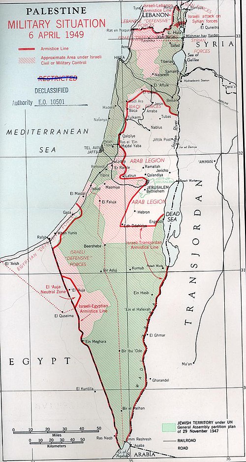
1949 Armistice Agreements
Formal ceasefire which ended the 1948 Arab–Israeli War.
4.7%

Baqa al-Gharbiyye
Arab town in Haifa District, Israel.
4.2%