Orthophoto

Orthophoto
Geometrically corrected aerial photograph.
No account needed. By playing, you confirm you're 13 or older and agree to the Terms of use.
No owners yet
Category: Empty
- 0 owners
- 0 copies
- 0 pulls
- Wishlisted
- 0
- In 0 albums
- On 0 showcases
- Market listings
- 0
Not sold on the market yet.
Readers' pathsAug 2026 – Oct 2026
Readers go next to
Share of the 164 clicks on its links


Readers come from
Share of the 363 readers arriving from another article

SS Thistlegorm
British armed merchantman sunk in the Red Sea at Ras Muhammad.
25%

M7 Aerospace
United States aerospace company.
23%

Photogrammetry
Taking measurements using photography.
14%

Google Earth
3D Internet global map program.
9.9%

Waynesville–St. Robert Regional Airport
Airport in Fort Leonard Wood.
8.3%

Remote sensing
Obtaining information through non-contact sensors.
3%

Ordnance Survey
National mapping agency for Great Britain.
3%

Geographic information system
System to capture, manage, and present geographic data.
2.8%

Map
Symbolic depiction of spatial relationships.
2.8%
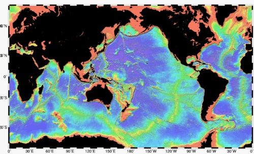
Bathymetry
Study of underwater depth of lake or ocean floors.
2.8%