Raised-relief map

Raised-relief map
Three-dimensional object representing a real terrain.
No account needed. By playing, you confirm you're 13 or older and agree to the Terms of use.
No owners yet
Category: Empty
- 0 owners
- 0 copies
- 0 pulls
- Wishlisted
- 0
- In 0 albums
- On 0 showcases
- Market listings
- 0
Not sold on the market yet.
Readers' pathsAug 2026 – Oct 2026
Readers go next to
Share of the 184 clicks on its links

Great Polish Map of Scotland
Sculpture near Eddleston, Scotland.
35%

High Tatras
Mountain range along the border of Slovakia and Poland.
24%

Digital elevation model
3D computer-generated imagery and measurements of terrain.
20%

Terrain cartography
Representation of surface shape on maps.
15%

Relief map of Guatemala
Building in Guatemala City, Guatemala.
6%
Readers come from
Share of the 492 readers arriving from another article

Han dynasty
Imperial dynasty in China (202 BC – 220 AD).
30%

New York City water supply system
Municipal water supply system.
13%
Topographic map
Medium to large scale map that shows a precise map of the terrain.
9.8%
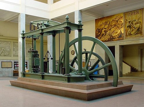
Engineering
Applied science and research.
8.9%
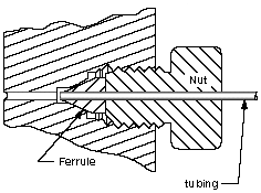
Cross section (geometry)
Geometrical concept.
7.9%

Shen Kuo
Chinese scientist and statesman.
6.9%

Map
Symbolic depiction of spatial relationships.
4.1%

Scale model
Physical representation of an object.
2.6%
Great Polish Map of Scotland
Sculpture near Eddleston, Scotland.
2%