Geography of the Dominican Republic

Geography of the Dominican Republic
No account needed. By playing, you confirm you're 13 or older and agree to the Terms of use.
No owners yet
Category: Empty
- 0 owners
- 0 copies
- 0 pulls
- Wishlisted
- 0
- In 0 albums
- On 0 showcases
- Market listings
- 0
Not sold on the market yet.
Readers' pathsAug 2026 – Oct 2026
Readers go next to
Share of the 1,960 clicks on its links

Dominican Republic
Island country in the Caribbean.
54%
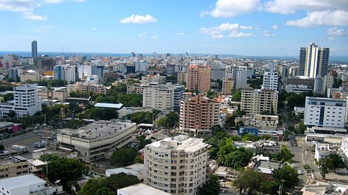
Santo Domingo
Capital and largest city of the Dominican Republic.
7.3%

Pico Duarte
Mountain in the Dominican Republic.
5.9%

Haiti
Country in the Caribbean.
5.2%

Lake Enriquillo
Saline lake in Hoya de Enriquillo.
5%

Hispaniola
Caribbean island shared by the Dominican Republic and Haiti.
4.8%

Constanza, Dominican Republic
Town in La Vega, Dominican Republic.
3.3%

Yaque del Norte River
River in the Dominican Republic.
2.9%

Caribbean
Islands and coastal region surrounded by the Caribbean Sea.
2.9%

Mona Passage
Strait connecting the Atlantic and Caribbean.
2.4%
Readers come from
Share of the 3,218 readers arriving from another article
